A waterspout came ashore near remote and sparsely populated NC island, NWS says
Frightening waterspouts are often seen dancing in the Atlantic off North Carolina, and one came ashore around 4:30 p.m. Monday near Cedar Island, according to the National Weather Service.
Read more These are the top 25 high school football teams in NC after Week 1 of the season
Once the whirlwinds make landfall, they are classified as tornados and this one had maximum winds of 85 mph, meteorologists say.
However, figuring that out hasn’t been easy.
Cedar Island is 22-square-miles of mostly marshland, with about 5 people per square mile, and even fewer trees, officials say.
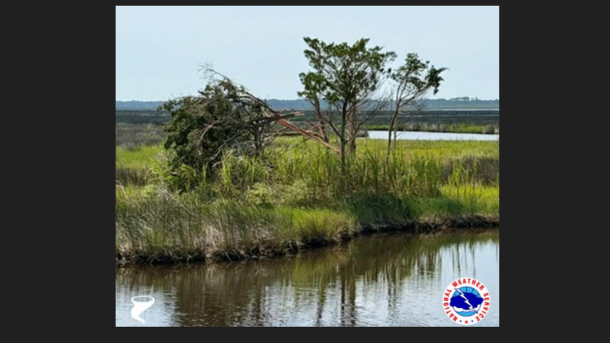
Two small cedar trees were found snapped at the trunk, and that’s the extent of the storm damage, investigators said in a preliminary report.
“The wind estimate was quite difficult with no other trees or buildings to determine a threshold of damage,” the NWS said.
Read more Construction starting on new Charlotte library branch. Here’s where it will go
“Eyewitnesses reported a waterspout cross Highway 12 (Cedar Island Road) at the same time the radar showed an intense area of rotation just above the surface. … Confidence is high in the determination of a tornado based on the combination of strong radar evidence and eyewitness accounts that match the exact location damage was found.”
The tornado is being classified as an EF0 (winds of 65 mph to 85 mph).
Photos of a coastal funnel cloud were posted on social media Monday, but forecasters have determined those photos are of a storm in Bettie, about 16 miles southwest of Cedar Island. “We have not received any damage reports associated with this possible second funnel cloud or tornado,” the NWS says.
Cedar Island is near Cape Lookout National Seashore, about a 185-mile drive southeast from downtown Raleigh.
Read more Historic 1860s stone house for sale in NC mountains for $750K. Here’s the catch