5-mile path of destruction is found near I-40 in NC after storm. What caused it?
A 5-mile path of destruction found late Tuesday near Interstate 40 in Catawba County was not evidence of a tornado, the National Weather Service says.
Read more A new botanical bar atop a Steele Creek hotel is opening this fall in Charlotte
It was instead caused by cold air plummeting to the ground from the upper levels of a passing thunderstorm, experts says.
This is known as a downburst, or straight-line winds, and the phenomenon can generate winds as strong as a tornado.
“Damage extended from just east of St. Stephens to the Conover/Claremont areas where numerous trees were downed and large limbs snapped. Estimated peak winds of 75 mph occurred near the intersection of Rifle Range Rd and Lee Cline Rd,” the NWS reported in a Facebook post.
“There’s multiple pieces of evidence that we investigate as part of the damage survey process. Not only are we looking for damage, but we’re carefully noting the direction and pattern that trees fell in along with where the damage happened in relation to radar data.”
Read more George and Amal Clooney Evacuate Home Amid Wildfires in France
That data revealed winds were “diverging away from each other instead of converging towards each other as we see in a tornado,” the National Weather Service says. This is caused when a downburst hits the ground and the cold wind “rolls” at high speed in multiple directions.
The Catawba County downburst happened between 6:20 p.m. and 6:32 p.m. Tuesday and reached a maximum width of 2,900 yards, officials said.
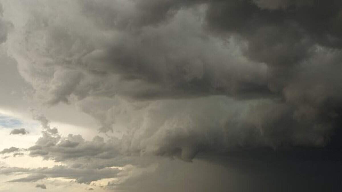
It emerged from a “supercell” thunderstorm that formed while a cold front was crossing the state.
Read more Singer Ruston Kelly Announces He Is 3 Days Sober After Relapse
Catawba County is about a 45-mile drive northwest from uptown Charlotte.