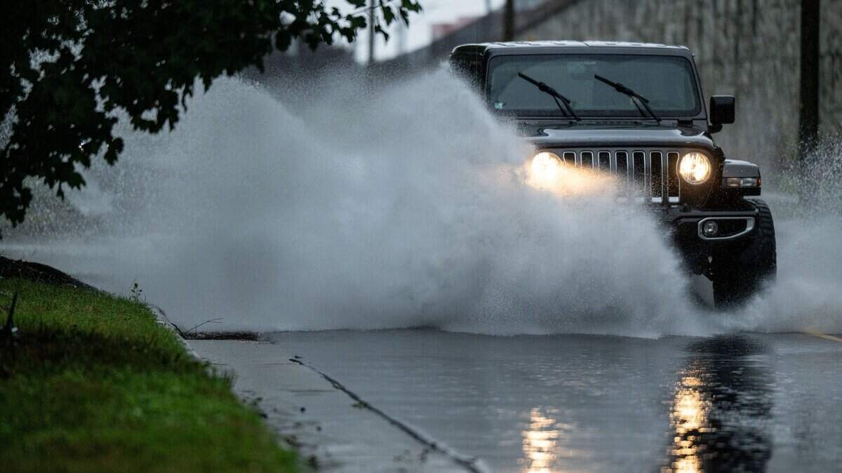
Remnants of Tropical Storm Arthur to bring night of heavy rain to Charlotte area
The remnants of Tropical Storm Arthur and a cold front are going to collide in the Charlotte region late Thursday, creating a scenario of heavy rain, gusty winds and a 24-degree drop in temperatures by day’s end.
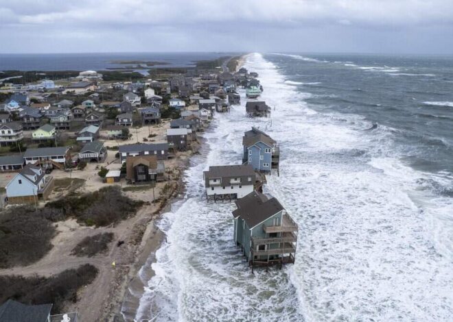
Read more NC has a strict, decades-old ban on coastal seawalls. Will lawmakers repeal it?
Much of the impact will be felt after dark Thursday, following a miserably hot day with a heat index above 100 degrees, forecasters say.
Charlotte has close to a 100% chance of rain after midnight Thursday, along with wind gusts of 30 mph. The low Thursday night is expected to be in the upper 60s.
“The remnants of (Tropical Storm Arthur) will track east-northeast today and cross the southern part of the forecast area tonight,” the NWS says. “Widespread rainfall and embedded thunder are expected; instances of locally heavy rainfall and damaging wind cannot be ruled out. A cold front will bring an end to the rain by late Friday.”
Read more Two juveniles and an adult hit by gunfire in uptown Charlotte, CMPD says
Up to a half inch of rain is possible Thursday night for the Charlotte area, officials say. The heaviest rain could fall “near the I-85 corridor or just to the south,” forecasters say.
Showers and thunderstorms will continue Friday (60% chance), but conditions will improve later in the day.
Clear skies and temperatures near 90 degrees are expected Saturday and Sunday, with lows in the mid 60s.
Read more NC man whose charity supported Nepali orphans is accused of sex with a minor in Nepal